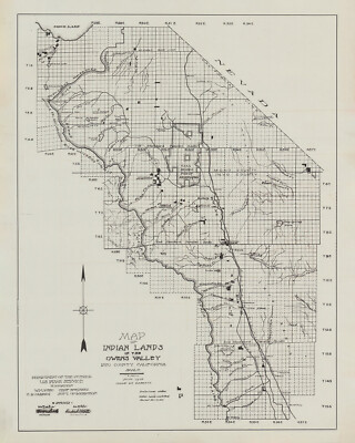
1917 Map Of Cook County Minnesota

Sold by ancientcityart
This seller has received 1,219 ratings (99.80% Positive)
Buy now for $29.70 USD
Item ships from Saint Augustine FL USA
Browse all: Art Prints
Similar Items


More from ancientcityart


$40.00 USD Buy It Now
1864 Map of Schuylkill County PA from actual surveys Pottsville Genealogy (393952873995)


$29.70 USD Buy It Now
1939 Map of Black Lake Cheboygan & Presque Isle County Michigan (394290938137)


Whohou Marketplace | Terms of Use | Privacy Policy | Contact Us | Follow us on Facebook, Instagram, and Twitter | Affiliate Program | Affiliate Portal