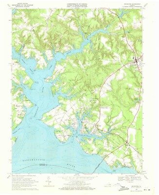
Grapevine Hills, Tx - 1971 Topographic Map, Usgs Premium Matte Print, Historic

Sold by vistamaps
This seller has received 40 ratings (100.00% Positive)
Buy now for $24.95 USD
Item ships from Holly Springs NC USA
Browse all: North America Maps
Similar Items


More from vistamaps


Whohou Marketplace | Terms of Use | Privacy Policy | Contact Us | Follow us on Facebook, Instagram, and Twitter | Affiliate Program | Affiliate Portal